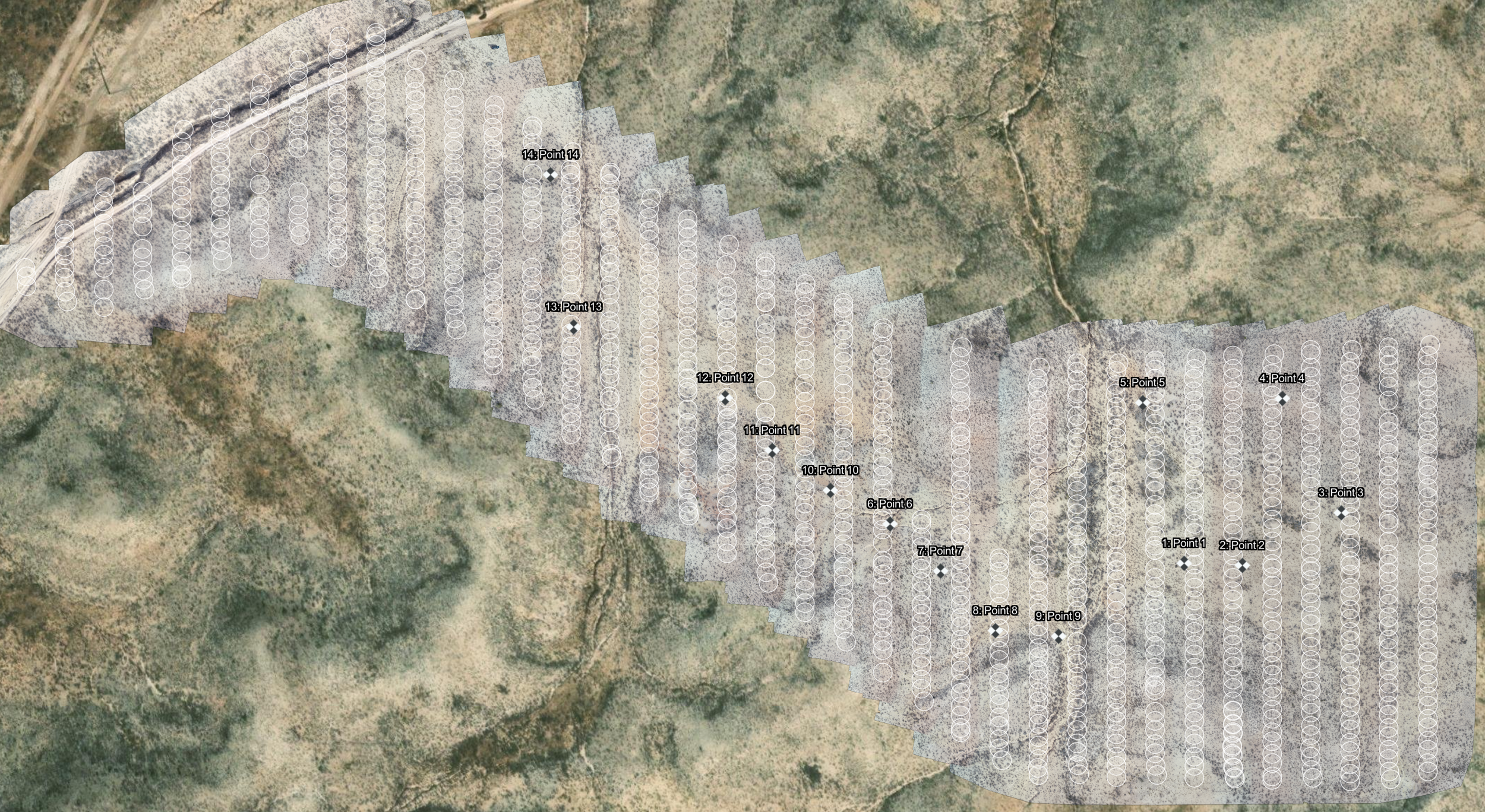
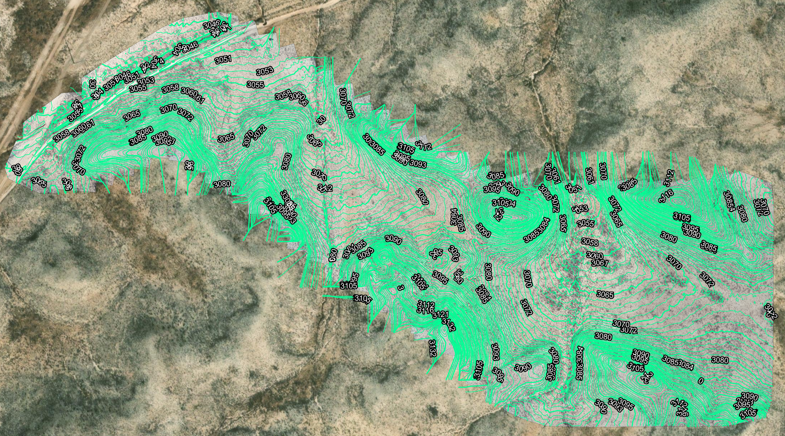
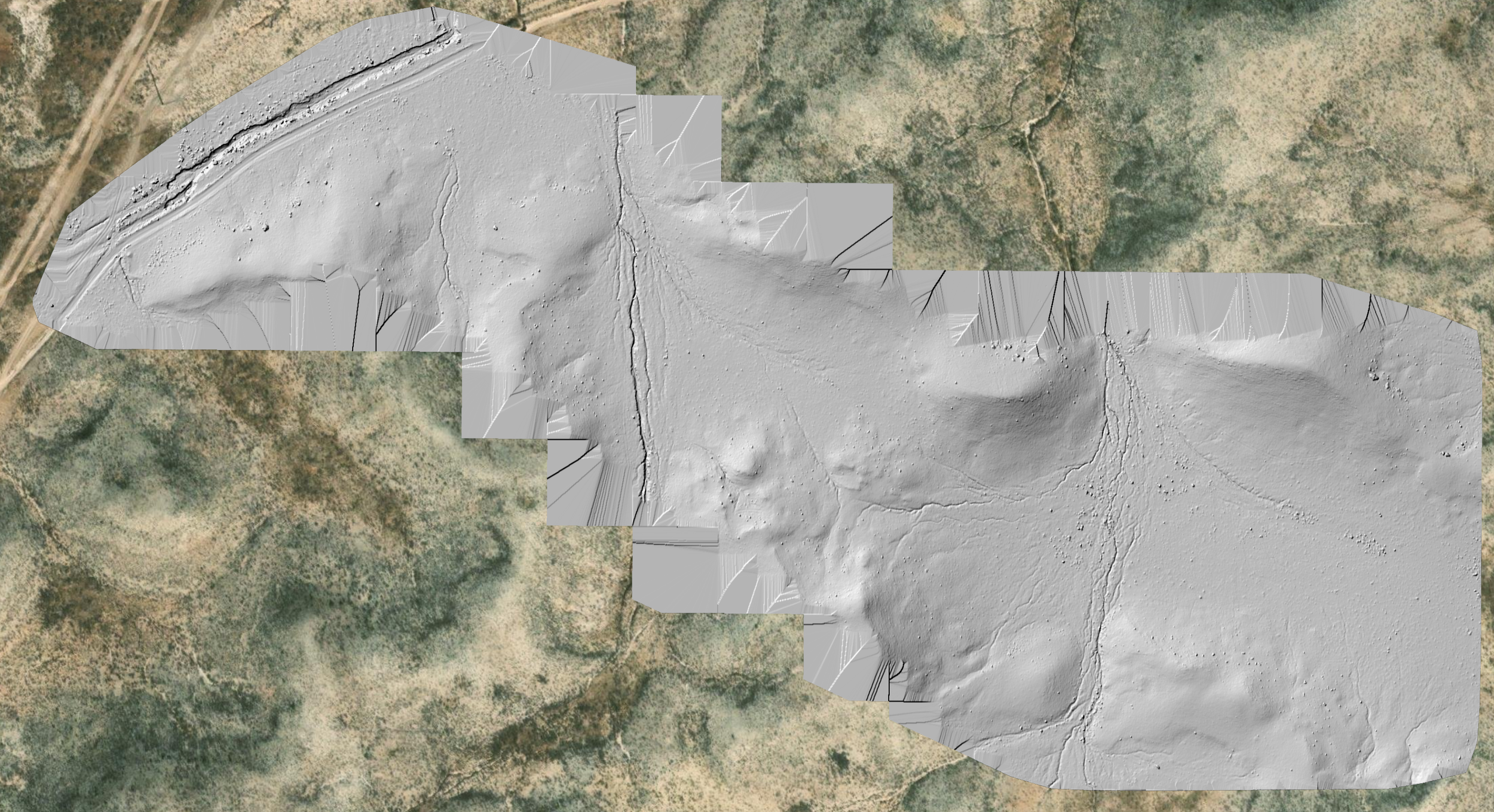
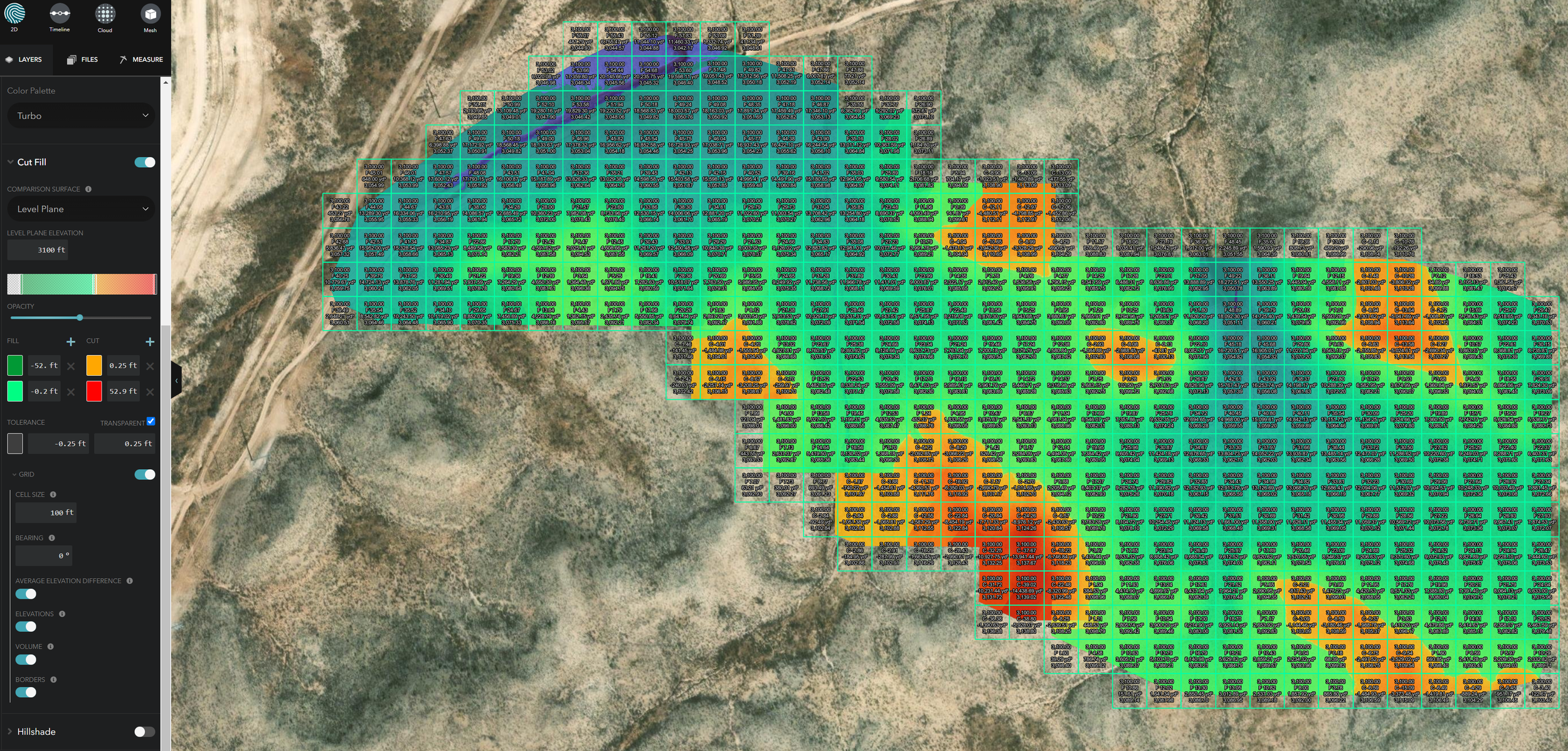
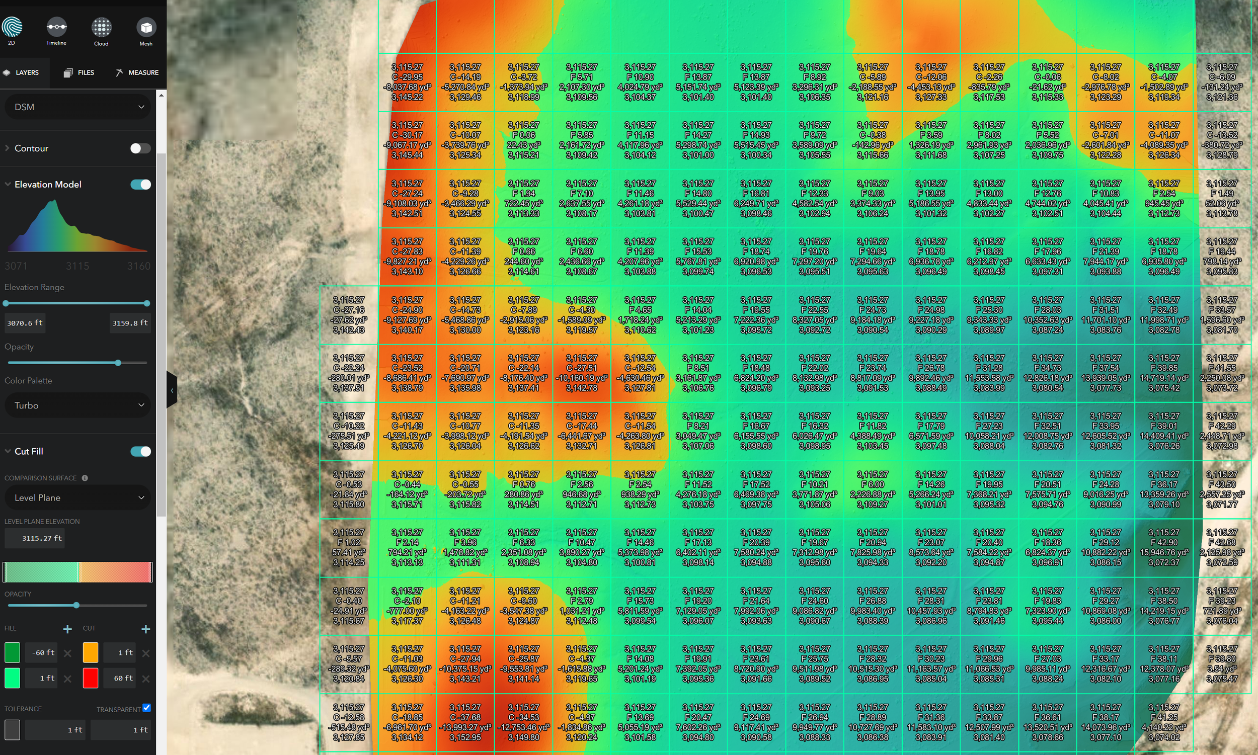
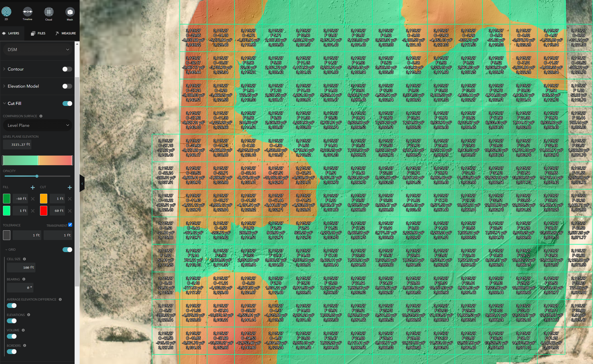
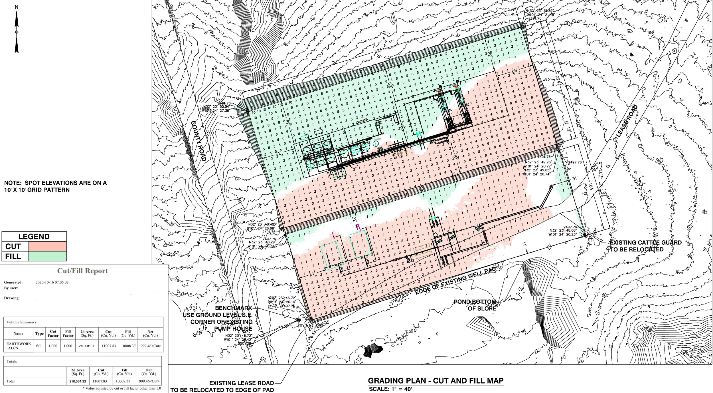
Drone Flight Data can be used to create cut and fill maps quickly and easily. The Optimal location for a pad is based off of the least amount of cut and fill needed to build a pad. Using a combination of Drone Flight Data, Cloud Registration, and Autodesk Civil 3d, these placement options can be laid out quickly and accurately.